
Hetq reports 74 high-vulnerability settlements in Armenia’s climate map
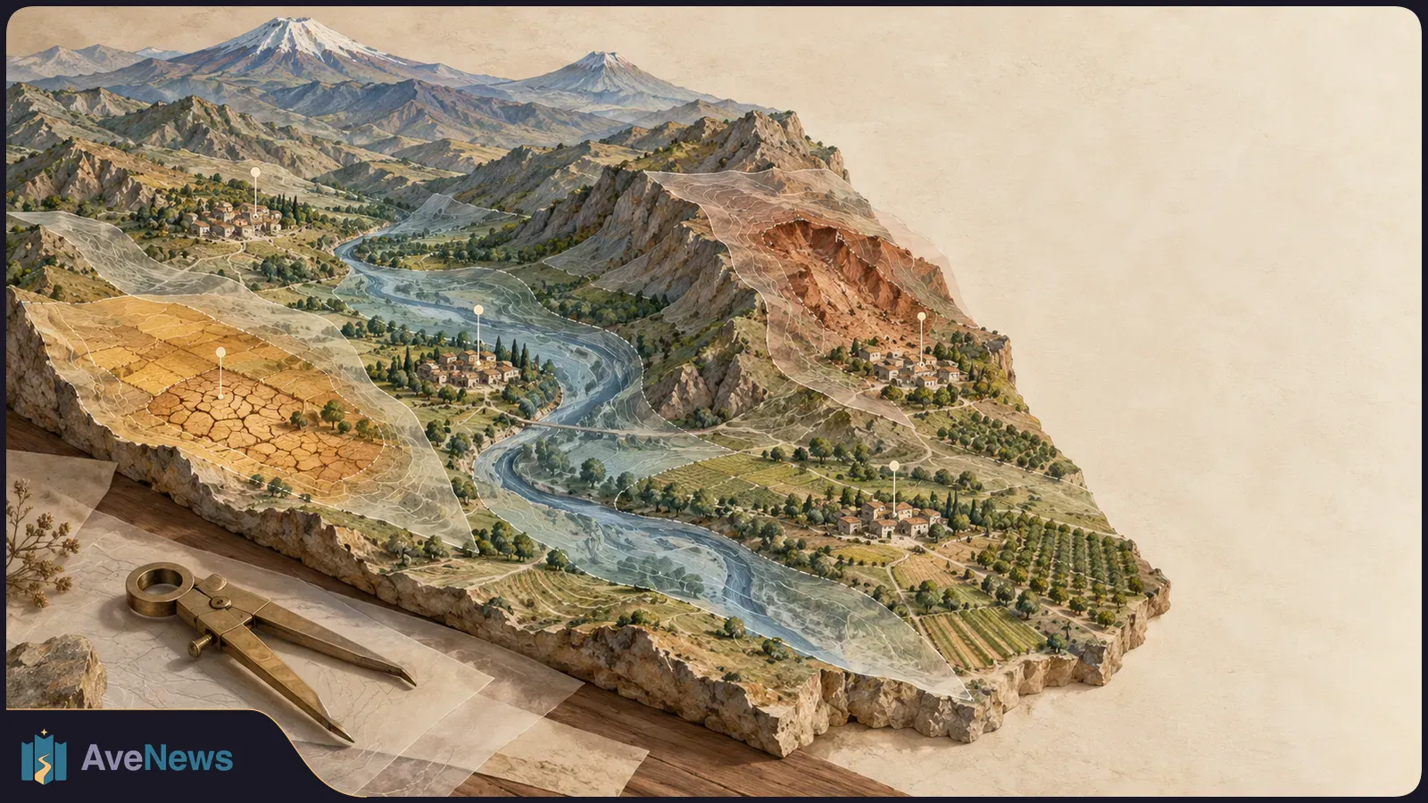
The Central Bank’s public tool helps lenders compare local hazards with borrower locations. Its vulnerability-scoring method and validation remain unclear.
The Central Bank’s public tool helps lenders compare local hazards with borrower locations. Its vulnerability-scoring method and validation remain unclear.
Armenia’s climate-risk assessment classifies 74 settlements as having “high” vulnerability, Hetq reported on October 6. The findings identify locations where lenders could examine local hazards more closely before making financial decisions.
The findings follow the September 29 presentation of the Climate Risk Map of Armenia. The Central Bank of Armenia developed the public, interactive map with Asian Development Bank support as a preliminary aid for financial, investment and spatial planning.
| Province | High-vulnerability settlements | Hazards Hetq associates with vulnerability |
|---|---|---|
| Ararat | 34 | Extreme temperatures, frequent flooding and water-resource shortages |
| Lori | 17 | Landslides, mudflows, heavy precipitation and flooding |
Hetq identifies Ararat as the most vulnerable province overall and Antaramut village in Lori as the country’s most vulnerable settlement. It is not yet clear how the vulnerability scores and “high” threshold were calculated or how the classifications were validated.
The Central Bank says the map aims to provide a single, data-based and practical way to assess physical climate risks—the direct dangers from weather and natural events. It uses detailed local data to show vulnerability at settlement level and is intended mainly for financial organizations.
The data is open to banks and other users on the Central Bank’s website. ArmBanks reported on September 29 that a separate Climate Risk Atlas app was scheduled to become downloadable from September 30.
Analysis
According to the Central Bank, a bank or insurer can combine the map with its own records of customers’ property and loan portfolios. Comparing borrower locations with local hazards can help assess lending, insurance and collateral—the property pledged to secure a loan. The same business activity may face different hazards in different settlements, so the map can indicate where closer study is needed.
Artak Manukyan, a Central Bank board member at the September 29 presentation, gave agricultural lending in a drought-prone settlement as an example. He said the tool could make a bank’s risks more predictable and help it consider insurance or measures to reduce those risks.
Marine Nikoghosyan, an Asian Development Bank senior finance-sector project officer at the presentation, said the map was a supporting risk-assessment tool, not a mandatory financial assessment guideline. These are possible uses, not demonstrated changes in lending. Whether banks have used the map to change loan terms is not yet known.
Armenpress reported on September 29 that the calculation table contained 1,001 entries, listing settlement names, communities, provinces, available population data, individual hazard indicators and a combined index. Users can find a settlement, compare it with others and switch individual map layers on or off.
Hetq describes the physical-hazard layer as showing known landslide zones, floods and mudflows—fast-moving flows of water mixed with mud and rock. It also maps areas burned in 2018–2025 and existing flood-protection structures.
The weather layers cover drought, heat, hail, frost, rainfall and recorded temperature changes. Armenpress gives the temperature and precipitation period as 2011–2025; Hetq gives it as 2011–2015. Historical drought frequency and observed weather changes describe past conditions, not forecasts.
The water-accessibility index shows surface-water bodies, canals, operational reservoirs, drainage networks and irrigated fields, according to Hetq. Program expert Lilit Minasyan said at the September presentation that users could click on a settlement to examine water access and infrastructure, including wells.
Minasyan said the team initially planned to include only climate risks, then expanded the platform to cover all physical hazards. She said calculations used scenarios, or modeled possible conditions. That does not make the historical observation layers forecasts.
The Central Bank also identifies uses in infrastructure planning, agriculture, water management and research, including deciding where local measurements or expert assessments are necessary. At the September 29 presentation, Manukyan said adding building data and residents’ social statistics, including age and sex, would be desirable to support faster, more targeted early warnings. He also said government bodies could use the data in decisions to prevent future risks.
Lyaziza Sabyrova, the Asian Development Bank’s Armenia country director at the presentation, said its experts would continue working to improve the tool. She also emphasized its use by private companies, civil society and researchers.

Revenue rose to $16.96 billion from $11.56 billion in the second quarter, while net loss narrowed to $23.29 billion from $66.3 billion. Anthropic is preparing its first public share sale.
10 min

The post-merger restructuring also puts TV programming under George Cheeks and business oversight across television and streaming under JB Perrette.

The October cap raises a typical yearly bill by about £60 to £1,723 despite a six-month electricity VAT cut from 5% to 0%. Ofgem says higher wholesale gas prices drove the rise. Actual bills depend on use. Cornwall Insight's £1,999 January estimate is still a forecast; Ofgem will set the cap in late November.
 ArmBanksԿլիմայական ռիսկերը՝ բնակավայրերի մակարդակով․ ԿԲ-ն նոր գործիք է ներկայացրել (opens in a new tab)
 ArmenpressEconomy Climate Risk Map of Armenia unveiled The Central Bank of Armenia (CBA), with the support of the Asian Development Bank, has developed and made publicly available an interactive map of the country’s...13:10, 29 September (opens in a new tab)
 HetqMapping the Unseen: How Armenia’s Central Bank is Quantifying Climate Risk for the Financial Future (opens in a new tab)
8 min