
NASA captures rare view of cloud cap above Montana wildfire
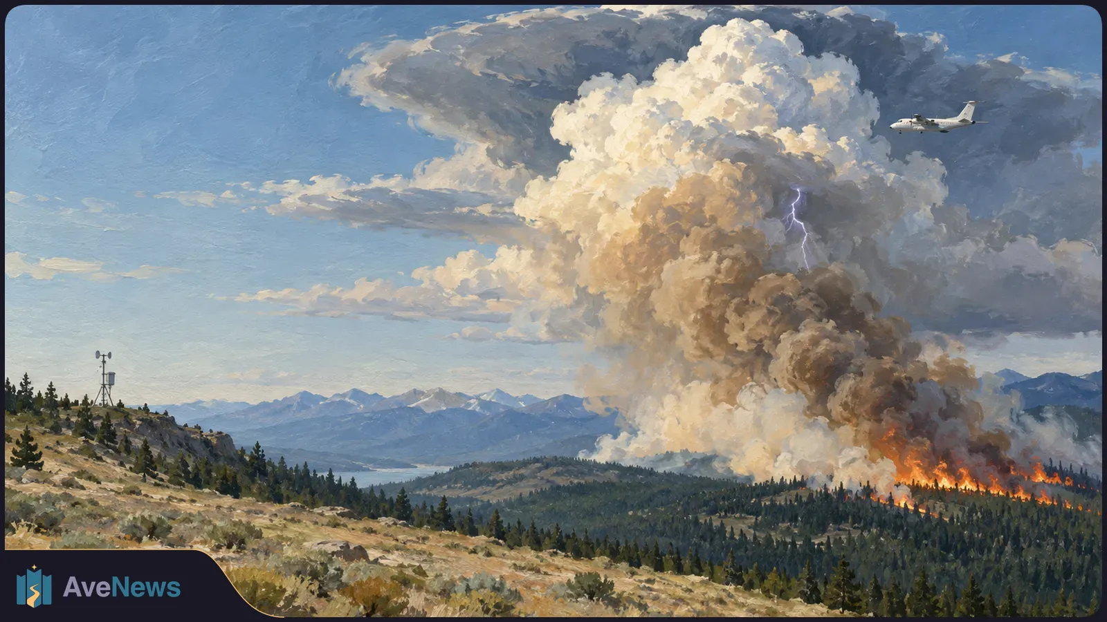
Observations over the Sand Creek fire showed how rising, fire-heated air formed a cloud cap and helped researchers connect surface burning with cloud structure.
Observations over the Sand Creek fire showed how rising, fire-heated air formed a cloud cap and helped researchers connect surface burning with cloud structure.
NASA’s INSPYRE campaign captured unusually detailed observations of a thin cloud cap above Montana’s Sand Creek fire during an August 11, 2026, flight. NASA says the cap, called a pileus cloud, formed above a smoke-filled, fire-generated cloud known as a pyrocumulus. The campaign collected coordinated aircraft and ground measurements across western North America in summer 2026 to investigate how wildfires generate thunderstorms. Researchers are now beginning to interpret the observations, according to NASA.
According to NASA, a fast-rising flow of air heated by the Sand Creek fire pushed a horizontal layer of moister air above it upward. As that displaced air rose, it cooled, and its water vapor condensed into the pileus cap.
MASTER, an imaging instrument on NASA’s high-flying ER-2 aircraft, recorded the developing pyrocumulus and pileus in visible light, while its infrared images revealed burned ground and actively burning spots along the fire’s edge. Downward-pointing aircraft radars studied cloud structure. Together, those observations let the team connect surface fire behavior, the rising plume and cloud processes, said Neil Lareau, INSPYRE’s deputy project investigator. NASA says MASTER sampled the plume roughly every 30 minutes, with the cap clearly visible in only one scene. These images do not establish the cap’s exact lifetime.
These fire-generated thunderstorms are called pyrocumulonimbus clouds, or pyroCbs. They produce lightning, rain and powerful winds that can intensify the flames below. The largest can carry smoke 10 to 15 kilometers (30,000 to 50,000 feet) above Earth’s surface, reaching the stratosphere—the atmospheric layer above most ordinary weather clouds.
Researchers still do not understand whether these storms are driven by the fire’s energy release or intensity, or by atmospheric conditions above it, said Olga Kalashnikova, a NASA Jet Propulsion Laboratory researcher and an INSPYRE principal investigator. NASA describes INSPYRE as the first aircraft campaign designed specifically to study pyroCbs.
During six weeks of flights, researchers aboard a National Center for Atmospheric Research Gulfstream jet collected smoke particles, sampled gases and photographed ice crystals. They also monitored radiation—energy carried by light and other waves—passing through clouds and reflected back into space. Flying above, below and through the clouds gave the team close-up measurements of smoke and fire-generated weather, NASA reported.
NASA’s higher-flying ER-2 aircraft carried 14 instruments to measure fire intensity, the speed of rising air, smoke and cloud properties from above. Crews in sensor-equipped trucks observed the same events from the ground. These different views will help researchers investigate how clouds move smoke upward, change its particles and gases, and deliver smoke to the stratosphere.
The team will also investigate how much smoke reaches the stratosphere. That quantity matters because particles there can persist for months or longer and affect how much solar energy the atmosphere absorbs and how much reaches Earth’s surface.
Catching these storms is difficult: they can develop and subside within minutes, while reaching a distant fire takes hours of preparation and flight. On August 26, 2026, the Gulfstream was returning from another fire when Sarah Woods, an NCAR scientist serving as the flight’s spotter, learned that the Wildhorse grass fire in eastern Idaho had become unexpectedly intense.
Woods spotted the fresh remains of a pyroCb and confirmed the fire below it. At her request, the pilots turned around and spent three hours flying back and forth through the cloud plume and its smoke trail. NASA says the encounter provided plume measurements roughly an hour after the cloud first erupted. Other coordinated Gulfstream and ER-2 flights observed active fire-driven airflow, adding data for studying how smoke plumes evolve over subsequent days and weeks.
Cloud formation changes smoke chemistry, and the altered smoke can affect radiation differently, Kalashnikova explained. That matters because smoke particles reaching the stratosphere can persist for months or longer, changing how much solar energy the atmosphere absorbs and how much reaches Earth’s surface.
The team plans to combine the aircraft measurements with satellite and ground observations and compare them with models. Most numerical prediction models do not explicitly include pyroCbs and their smoke injections, said Dave Peterson, a Naval Research Laboratory meteorologist and INSPYRE co-principal investigator. The measurements will provide data for testing and improving simulations of their effects on weather and climate.
Neil Lareau, the University of Nevada, Reno atmospheric scientist who led the ground observations, hopes the research will eventually support warnings for firefighters. A warning about a developing storm’s potential downward rush of air and wind shift could give fire managers time to withdraw crews. Those warnings remain a goal; the next step is to understand what the campaign measured.
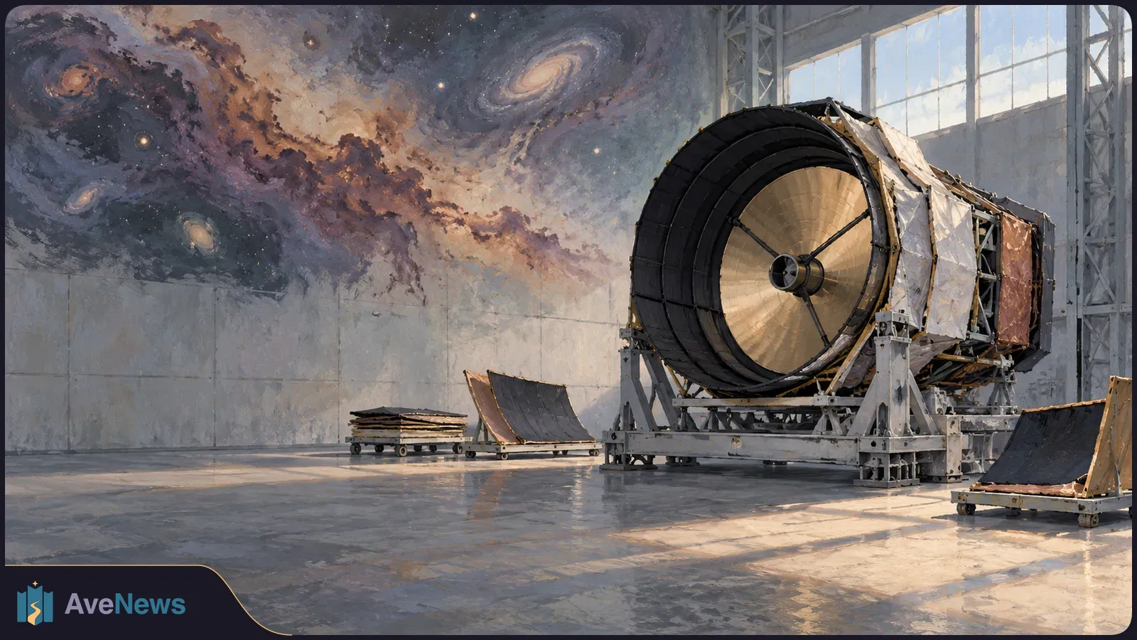
The proposed far-infrared telescope would cover wavelengths between Webb and radio telescopes. Confirmation is still pending, and its 2033 launch target depends on completing development.
2 min

The Commonwealth Games finalist says continuous urine leakage once limited her training. Surgery in 2013 brought relief, and Gynocare supported her schooling.
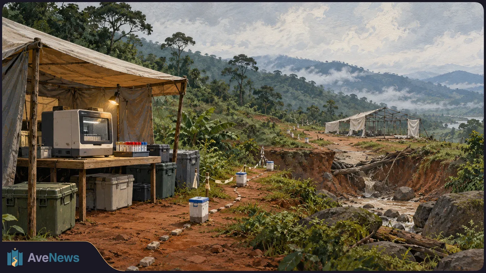
Kenya’s Health Ministry said on 20 October that a quarantined relative of the first patient tested positive and began treatment immediately.
13 min
2 min
