
NASA and IBM release a reusable model for lunar research
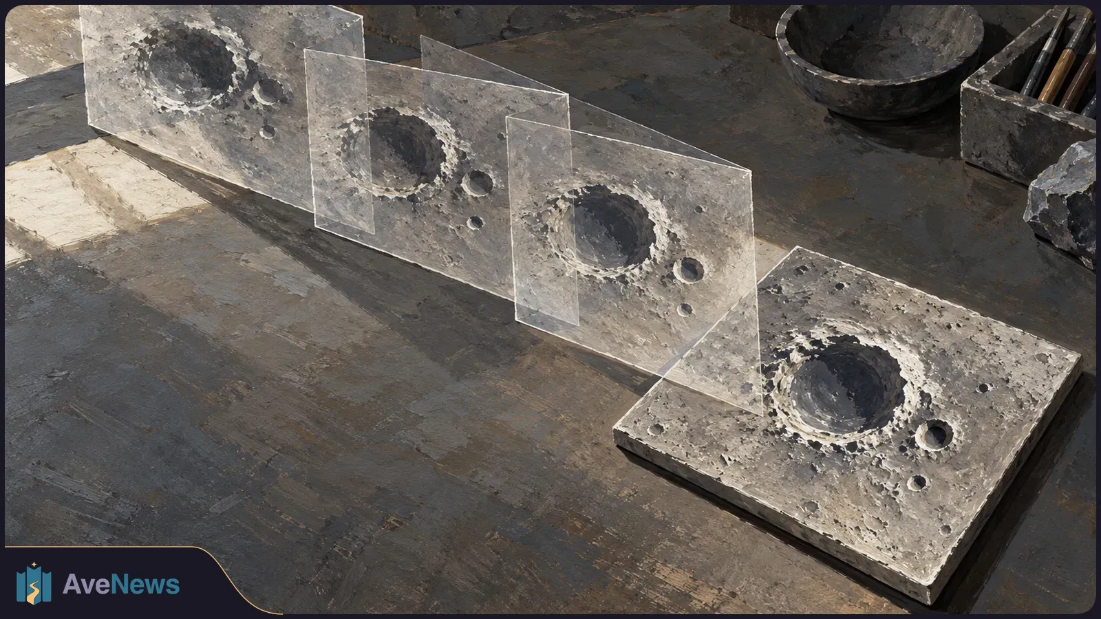
The model learns from aligned Moon observations, then adapts to research tasks. Reported ice-map gains do not amount to physical confirmation of ice.
NASA and IBM Research, working with academic institutions, have released a model that learns from geographically aligned observations of the Moon and can then be adapted to different research tasks. The Decoder reported the release on October 4. The aim is to make abundant lunar observations useful where labeled examples—data with the desired answer already identified—are scarce.
The NASA-IBM Lunar Foundation Model is a foundation model: it first learns patterns from large amounts of unlabeled data, rather than training only for one task. Researchers can then adapt it with labeled examples to identify craters, outline volcanic features or predict maps of potential polar ice. Those ice predictions are not physical confirmation that ice is present.
The team trained the model from scratch on SomBench, a collection of nearly two million bundles of small mapped areas, or tiles. It combines 11 types of observations at two spatial scales, with more than 30 geographically aligned data layers from nine instruments across four missions. Alignment lets the model learn relationships between different measurements of the same lunar area.
Most of the collection comes from 17 years of Lunar Reconnaissance Orbiter observations. Other missions add different measurements: GRAIL contributes gravity data, Lunar Prospector supplies hydrogen observations, and Japan’s Kaguya/SELENE probe provides mineral information. High-resolution and coarser imagery are learned together, giving the model both fine detail and wider context.
The team separates training, validation and test data by geographic map zones, rather than randomly assigning individual tiles. This keeps observations from the same zones out of different sets, reducing the risk that a test rewards familiarity with an area instead of measuring performance on unseen areas.
Lighting strongly affects how the Moon’s surface appears. Each tile therefore includes explicit information about illumination angles, the Sun’s position and the area the tile covers. The model receives this context instead of having to infer lighting conditions from image pixels alone.
During initial training, the model divides imagery, elevation data and imaging geometry into small encoded units called tokens. It learns relationships among them by predicting hidden portions. Although its design is based on TerraMind, an Earth-observation model, the lunar model was trained from scratch rather than adapted from TerraMind’s learned parameters.
For specific research tasks, the team compared full fine-tuning—adjusting all the model’s parameters—with LoRA, a lighter method that trains only a fraction of them. The researchers report that LoRA was broadly competitive and performed better on crater detection, while full fine-tuning won on the two smallest tasks.
Analysis
The largest reported improvement concerns predicting reference maps of potential polar ice distribution. Permanently shadowed polar areas can remain cold enough to preserve water ice for billions of years. IBM reports that the model reduced prediction error by up to 22 percent against SwinV2-B, the strongest comparison model in that test. This measures agreement with ice-distribution maps, not direct detection of ice.
| Task | Result and qualification |
|---|---|
| Polar ice-map prediction | IBM reports up to 22% lower prediction error than SwinV2-B. |
| Crater detection at 100-meter scale | IBM reports nearly 19% better performance than SwinV2-B when training with only half the data. |
| Crater detection at 1-meter scale | Roughly tied the strongest comparison models; differences fell within variation between training runs. |
| Outlining Irregular Mare Patches, young volcanic features | Roughly tied the strongest comparison models. IBM’s claimed 3% lead over SwinV2-B was within variation between training runs. |
The gains do not come solely from learning lunar observations in advance. A control model with the same architecture but no lunar pretraining beat five of seven comparison models on ice prediction. The researchers attribute part of this advantage to processing each data layer separately, rather than stacking all inputs together as the comparison models do.
The research found that the model is unsuitable for establishing precise absolute positions on the Moon. In generation tests, latitude and longitude were wrong by dozens of degrees in some cases. The model could also reproduce the shape of elevation features while shifting their absolute heights. The authors describe it as a reusable starting point for research tasks, not a replacement for physical measurement instruments.
Some test datasets are small. Controlled experiments that isolate the contribution of each design change remain pending, so it is not yet clear how much each innovation contributes to the reported performance.
Researchers can access the model on Hugging Face and its code on GitHub; it is also integrated into the open-source TerraTorch toolkit. The team released the machine-learning-ready pretraining datasets and benchmark collections, allowing others to adapt the model and evaluate it on further lunar tasks.
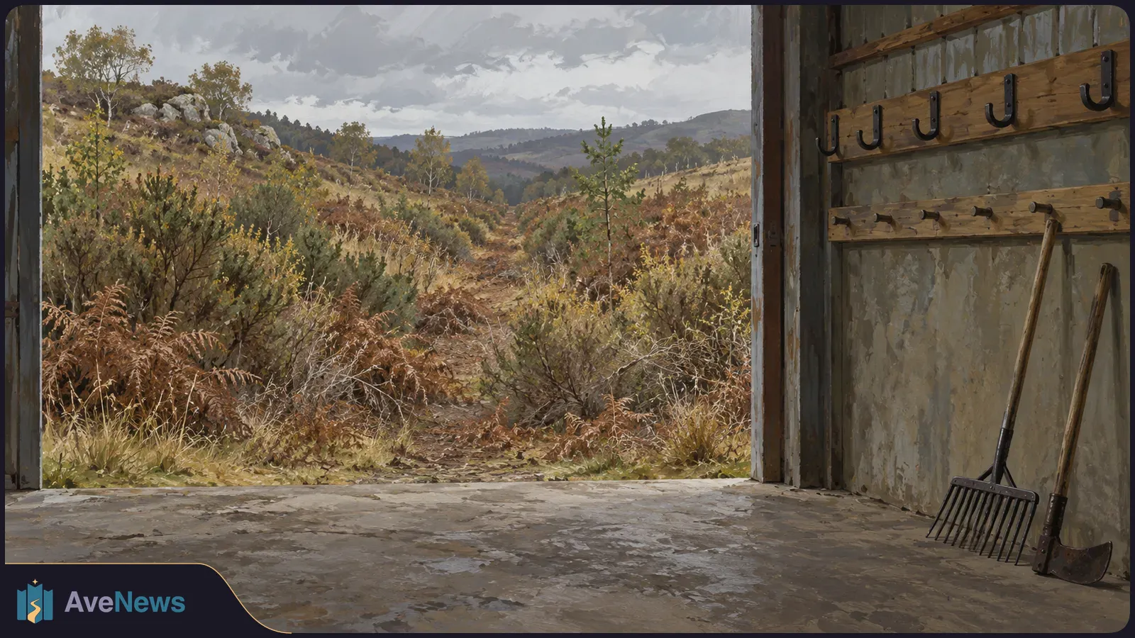
Provisional figures put England’s eight-month total second behind the full-year record in 2022. They also include the first wildfire death recorded in a series beginning in 2010.
5 min
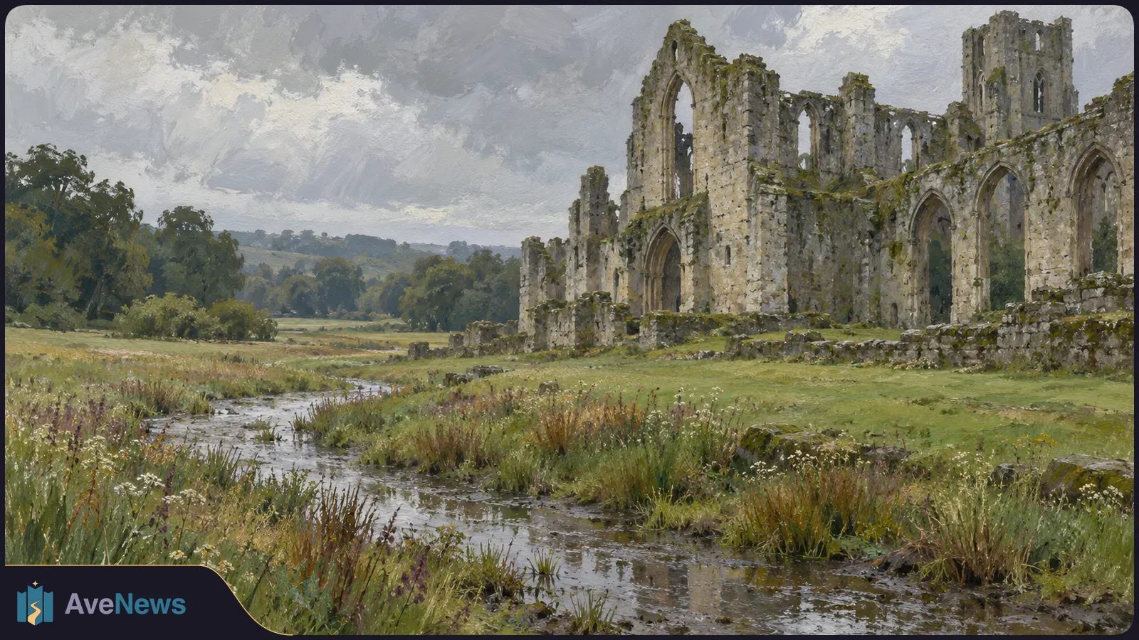
At Fountains Abbey, possible adaptations include greater drainage capacity and less manicured gardens. The National Trust says preserving everything as it looks today may not be possible.
2 min
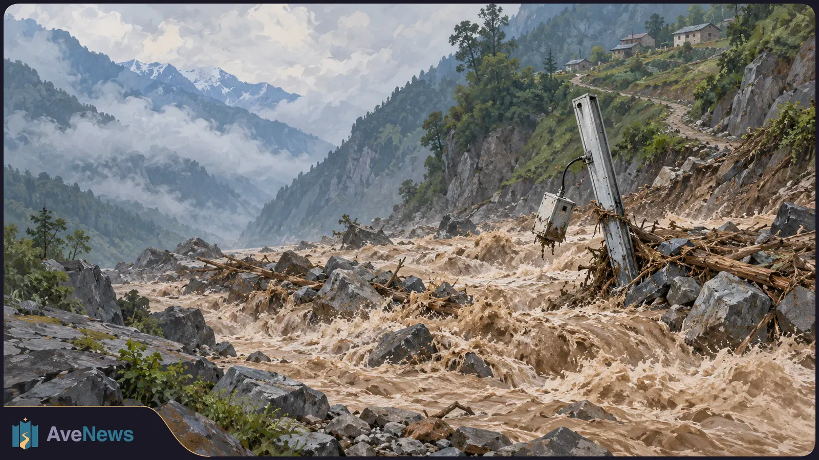
A study uses records from Nepal and China to examine the August 26 collapse and smaller signals that preceded it. Researchers are investigating whether those signals could help identify unstable slopes.
7 min
