
Researchers reconstruct the collapse behind Nepal’s deadly flood
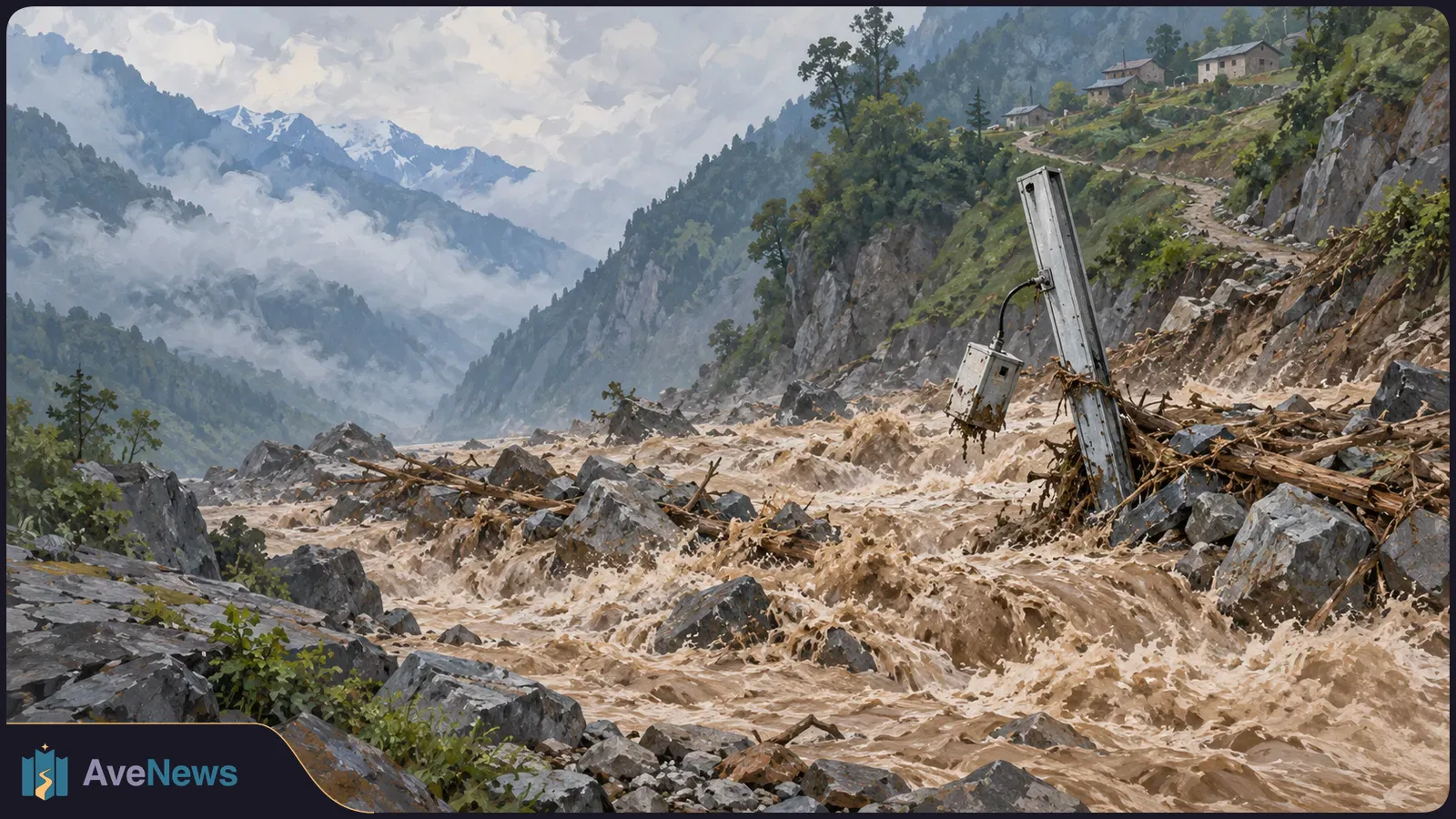
A study uses records from Nepal and China to examine the August 26 collapse and smaller signals that preceded it. Researchers are investigating whether those signals could help identify unstable slopes.
Researchers have reconstructed the mountainside collapse behind Nepal’s August 26, 2026 flood using ground-vibration records from Nepal and China. The study, published in the journal Seismica and described by Inside Climate News on October 14, identified smaller signals before the collapse. Their meaning remains under investigation: they are possible signs of an unstable slope, not a demonstrated way to predict a disaster.
The disaster began when a Himalayan mountainside near the Nepal–China border collapsed, sending millions of cubic meters of rock and ice downhill and unleashing a flash flood along the Trishuli River. At least 1,455 people were reported dead and 5,285 remained missing as of October 7, according to Associated Press figures cited by Inside Climate News.
Seismic instruments measure ground vibrations, which can come from earthquakes or from large masses of rock and ice moving. The researchers placed the start of the main collapse at 8:37 a.m. Nepal time. It produced signals strong enough for instruments around the world to detect.
Those vibrations initially led USGS, which reports earthquakes, to classify the event as a magnitude-4.4 earthquake. It later identified the signal as coming from the landslide itself. Nepalese researchers also reexamined their records and found that the main signal did not resemble an ordinary earthquake, said study co-author Lok Bijaya, chief of Nepal’s National Earthquake Monitoring and Research Centre.
The team found a magnitude-2.5 seismic event about 17 minutes before the collapse, less than 10 kilometers away. It could have contributed to the failure, but co-author , a geophysicist at the in Kathmandu, said the researchers were unsure whether an event that small was sufficient. The collapse’s exact trigger remains unknown.
A thousand-year model examines why some ruptures stop at the Southern California junction and others continue across two fault systems.
Researchers also detected more than 60 smaller seismic events in the area during the preceding two weeks, including several in the hours before the collapse. They suggest some may have been “slide-quakes”: near-surface vibrations caused by gravity pulling parts of the mountainside downhill, rather than earthquakes. Such signals could mark the slope becoming unstable, but their relationship to the final collapse is unresolved. Co-author György Hetényi, a geophysics professor at the University of Lausanne in Switzerland, said other researchers are examining them more closely.
Climate’s contribution is also uncertain. Hetényi said changes in ice and glacier movement can alter stresses in the rock beneath them and may have contributed to instability. He believes a collapse of this volume would have happened anyway, with climate change potentially affecting its timing rather than explaining it alone.
Science News’s September 29 report described a warning system designed mainly for monsoon floods, when river levels rise gradually. Its gauges transmitted readings every 10 minutes. The sudden debris flow—a fast-moving mixture of water and debris—destroyed four sensors before they could signal an alarm. The destroyed sensors stood between nine and 100 kilometers from the avalanche site.
Authorities learned of the flow by word of mouth and hurried to send text messages and reach riverbank towns with handheld megaphones. Many downstream residents had only a few minutes of warning or less. Survivors and scientists told Science News that fragile warning systems and poorly coordinated community responses probably increased the loss of life.
| Approach | What it could change | Status |
|---|---|---|
| Threshold-triggered river gauges | Transmit when water reaches a set level rather than waiting for the next 10-minute reporting interval. | Under discussion by Nepalese officials. |
| Elevated backup sensors | Could buy warning time if lower stations are destroyed. | Cliff-mounted backups are under discussion; bridge-mounted systems were quickly destroyed. |
| Seismometers | Detect ground motion, including vibrations generated by a flood. | Sensors recorded flood signals in Nepal in 2016. Real-time warning is a proposed use, not the outcome demonstrated then. |
The earlier seismic evidence came from six instruments installed along Nepal’s Bhotekoshi River after the 2015 earthquake by engineering geologist Basanta Raj Adhikari of Tribhuvan University and his team. They were studying how long the landscape took to stabilize. When a glacial lake in Tibet burst in July 2016, the resulting flood produced distinct signals that the instruments recorded. Adhikari thinks real-time operation could let such systems detect floods and warn downstream communities.
A working sensor is only one part of an alert system. Ólafur Stitelmann, identified in the September 29 report as a geomonitoring specialist at Zürich-based Geoprevent, said systems need reliable power, a communications network and backups at every step. Equipment used in the Alps must be adapted to local infrastructure before it can work in the Himalaya.
Stitelmann put the cost of complete multi-sensor warning systems, including infrastructure and backups, at tens of thousands of dollars to millions, limiting widespread deployment. Geographer Christian Huggel of the University of Zürich recommended combining different sensors, including wires stretched across a river alongside seismic stations, rather than relying on one instrument.
Detecting a flood already underway differs from predicting an avalanche. Scientists cannot easily examine a buried fracture zone or determine how much rock and ice will break away. Cracks visible in satellite images before Nepal’s avalanche were not a clear warning because similar cracks occur in many Himalayan locations, Huggel told Science News.
In Blatten, Switzerland, a local mountain-hazard observer noticed unusual movement before a glacier collapse in May 2025. According to Huggel, authorities brought in sensors and evacuated residents about a week before the avalanche destroyed the village, saving hundreds of lives. That avalanche was a tenth the size of Nepal’s or smaller.
Whether local observers could have recognized Nepal’s impending disaster and secured comparable monitoring resources remains unclear. The terrain is difficult to reach, and the border location adds political complexity.
Working sensors do not decide who authorizes an alarm, how residents receive and understand it, or who coordinates evacuation. Previous false alarms can also weaken trust in later warnings, Science News explains.
Dhunge Bazaar shopkeeper Prakash Pyakurel told the publication that a police loudspeaker announcement around 9:10 a.m. on August 26 was difficult to hear over the town’s noise. He took time to understand it, close his shop and alert his family, who then debated whether to leave. Water and debris arrived at 9:15 a.m., forcing them upstairs; they survived in their home.
At Tribhuvan Trishuli Secondary School that morning, principal Rajendra Dawadi acted on a staff member’s verbal warning about rising water upstream without waiting for official confirmation. Science News reports that he ordered the bell rung, directed teachers to evacuate classrooms and told drivers carrying students to head to higher ground, saving more than 900 students.
Inside Climate News reports that India, China and Nepal have no protocols for sharing seismic data. Bijaya said limited data availability creates uncertainty when locating events and developing early-warning systems. For this study, the team negotiated access to Chinese records and received the needed data the next day.
Hetényi called for regional data exchange and proposed combining water-level gauges, satellite monitoring and infrasound—air vibrations below the frequencies people can hear—to detect hazards and issue alerts. He presented these as improvements he would pursue with sufficient resources, not as an installed warning system. Subedi also urged investment in several warning methods because such events could recur.
Further analysis of the smaller seismic events is underway. That work is examining whether the signals were signs of the mountainside becoming unstable; the proposed monitoring and data-sharing changes do not yet establish that such signals can reliably predict a collapse.
3 min

Tiny inclusions in garnet preserve an early warm stage that the rock’s deepest-burial conditions alone would miss.
4 min
Brief electrical pulses reduced disruption from moving magnetic flux and heat, revealing contrasting responses in two superconducting materials.
3 min