Loading… Բեռնվում է…
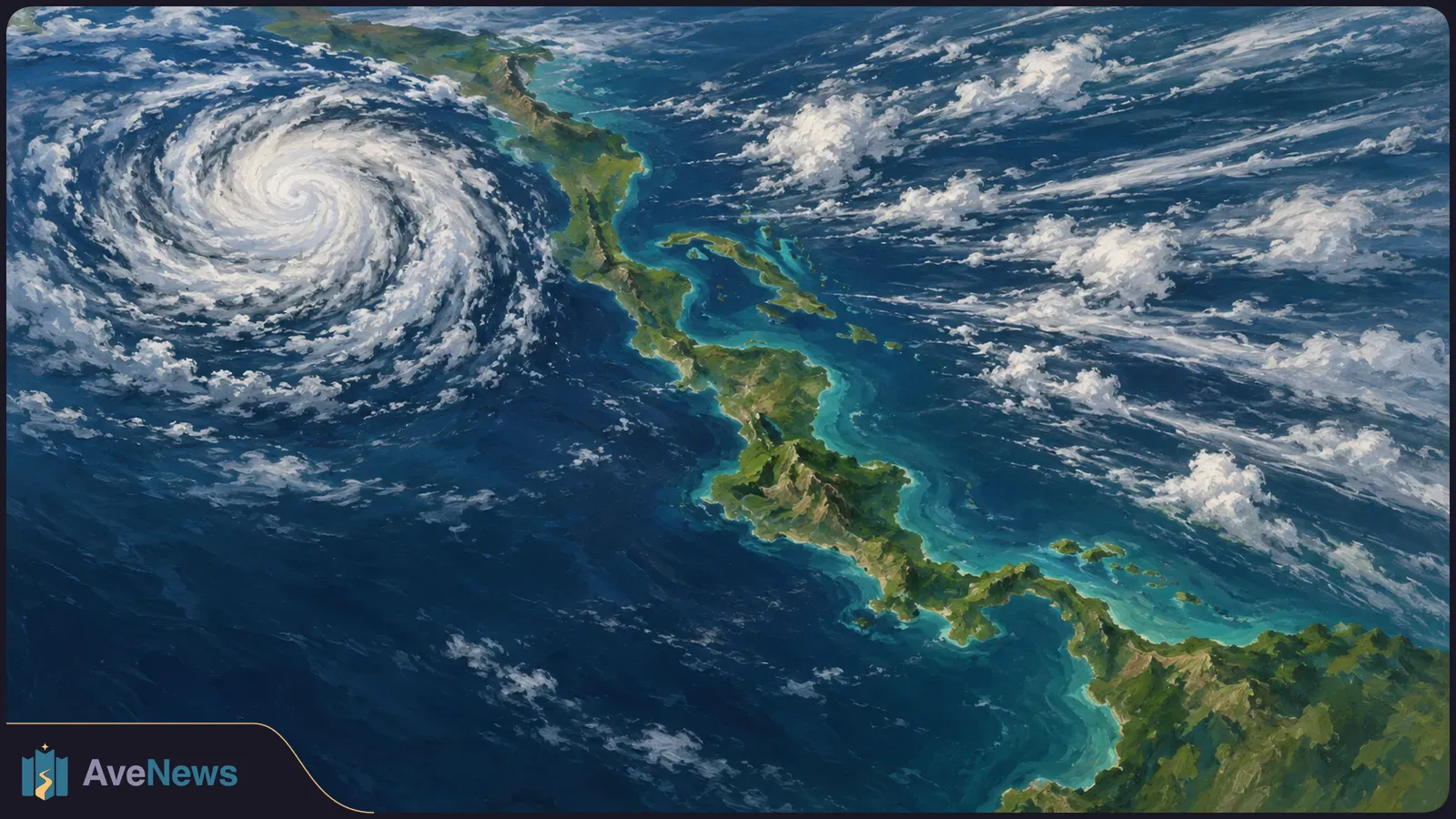
Officials attribute six deaths in Florida and two in Alabama to the storm and its aftermath, including a fatal tree strike more than 200 miles from landfall.
Officials attribute eight deaths to Isaias and its aftermath—two in Alabama and six in Florida—Inside Climate News reported on 14 October. NASA reported on 16 October that satellite observations showed sharply reduced nighttime lighting along parts of Florida’s coast after the storm, followed by lighting patterns resembling pre-storm conditions by 14 October. The death toll had risen from four, two in each state, reported by BBC on 10 October.
Isaias made landfall near Destin in Florida’s western Panhandle around 8:30 p.m. on 9 October after weakening to category two, with maximum sustained winds of 105 mph (170 km/h). Coastal residents had been told to seek immediate shelter under an Extreme Wind Warning. By the morning of 10 October, Isaias had become a post-tropical cyclone—a storm no longer classed as tropical. The US National Hurricane Center ended all its warnings, including the remaining storm-surge and tropical-storm warnings, as the storm moved north across the southeastern US.
NASA compared an August 2026 composite—a combined view representing typical nighttime lighting—with observations from 11 October, after most storm clouds had cleared. Lights decreased sharply around parts of Pensacola and along US Route 98 toward Destin, suggesting widespread power disruptions. The darker areas overlapped a broader region west of the storm’s centre where high winds had struck.

The observations show the return of lighting, not verified restoration of normal electricity service. NASA says Black Marble data complement ground-based outage reports rather than replace them. Taken together, the two kinds of information can help responders locate continuing disruptions and decide where additional attention may be needed, according to Ranjay Shrestha of NASA’s Black Marble science team.
Some places remained lit, including Pensacola International Airport, Pensacola Christian College and parts of downtown Pensacola. Shrestha said those patterns could reflect backup power, differences in electrical infrastructure or electricity that remained available through the storm. The imagery alone cannot establish which explanation applies at a particular site.
The images use Black Marble HD, a finer-scale nighttime-light product based on measurements from the NOAA-20 satellite. Its Visible Infrared Imaging Radiometer Suite, or VIIRS, has a day-night band that detects light emitted and reflected at night. Shrestha said the finer scale makes local changes easier to see than in standard Black Marble imagery.
NASA’s team processed the measurements to account for changes in the landscape, atmospheric conditions and the Moon’s phase. It also filtered out stray light that did not come from electric lights. These adjustments help distinguish changes in human lighting from changes in the conditions under which the satellite observed it.
Clouds still left gaps. Dark gray, hash-marked areas in NASA’s images mark places where clouds prevented VIIRS from collecting data; they do not represent observed losses of lighting.
A tree struck 66-year-old Devolin “Bobo” Webster’s Birmingham home just after 5 a.m. on 10 October and killed him, according to the local coroner’s office, as reported by Inside Climate News on 14 October. The storm’s remnants were passing through the Alabama city, more than 200 miles from landfall, bringing about three inches of rain and wind gusts around 50 mph overnight on 9–10 October. Webster was among the eight people whose deaths officials attributed to Isaias and its aftermath.
Fox News reported on 11 October that Isaias left more than one million without power as cleanup began. Fox News has not said when that total was measured or who compiled it. BBC’s earlier count, citing PowerOutage.us, put at least 600,000 people across several states without power on the afternoon of 10 October, after powerful winds and heavy rain felled trees and damaged houses. Flooding remained a risk as the storm moved inland.
Fox News’s 11 October account described damaged homes, flooded roads and debris across neighbourhoods. Photo captions identified roof damage in Milton, Florida, on 10 October: the roof was torn from the Milton Quick Stop, and an apartment complex lost its roof.
BBC’s 10 October account placed the two initially reported Florida deaths in Escambia County. Sheriff Chip Simmons said a woman died when a tree fell on her house. He later reported that a man died from carbon monoxide poisoning after running a generator in a garage that was not properly ventilated. Four other people in that house were taken to hospital.
Alabama Governor Kay Ivey confirmed two deaths in that account without detailing the circumstances. An Alabama sheriff was injured when a tree fell on him while he responded to a car crash. Ivey said officials were concerned about tornadoes and urged people making travel plans to follow reliable information as conditions changed.
The Florida National Guard said soldiers swam to a truck stuck in a flooded ditch and pulled its occupants to safety. Florida Governor Ron DeSantis warned that flooding remained a risk and described the conditions as a very hazardous situation.
Before its afternoon outage total, BBC reported the following state figures on the morning of 10 October, citing PowerOutage.us for Florida and Alabama.
| State | Customers without power |
|---|---|
| Florida | More than 400,000 |
| Alabama | Just over 300,000 |
| Georgia | More than 100,000 |
On 10 October, US Homeland Security Secretary Markwayne Mullin said the president had approved emergency declarations for Florida and Alabama to make federal resources available for support.
Florida and Alabama issued mandatory evacuation orders affecting thousands before landfall. Florida’s orders covered coastal communities in the storm’s path. Ivey ordered non-residents, tourists and visitors to leave key Alabama counties expected to be heavily affected, BBC reported on 10 October.
Florida, Alabama and Georgia, the US state, declared states of emergency ahead of Isaias. BBC’s weather article, first published on 7 October, reported that DeSantis declared an emergency across 25 Florida counties because of concerns about the storm’s potential impacts.
SwimSwam’s 9 October report said Tallahassee might avoid a direct hit but still faced severe weather. Florida State University closed its main campus and cancelled classes for 9 October while keeping essential business operations open. Its women’s soccer game against North Carolina and women’s volleyball game against Georgia Tech were postponed from 9 October.
For 10 October, a baseball game and men’s basketball exhibition were cancelled, a women’s softball game was postponed to 11 October, and a women’s lacrosse game was closed to the public. Florida State competes in an outdoor pool, and the Seminole Fall Classic swim meet’s 9 October session was moved eight hours earlier. The pre-meet tailgate party planned for that evening was cancelled.
| Session | Original start | Reported arrangement |
|---|---|---|
| 9 October | 7 p.m. | Moved to 11 a.m. |
| 10 October | 10 a.m. | The 9 October report said the session was expected to proceed as scheduled |
Before landfall, the National Hurricane Center warned of likely life-threatening storm surge—the rise in coastal water caused by a storm—along the US Gulf Coast. BBC reported forecasts of flooding up to nine feet (2.7 metres) in some areas, not a measured flood level. Its 9 October weather outlook warned of dangerous surge, especially around high tide, with strong winds and large waves.
Florida-based National Weather Service meteorologist Melissa Watson told BBC before landfall that tornadoes could accompany the hurricane. She advised people who had not evacuated to have multiple ways to receive tornado and storm-surge warnings, and coastal residents to be ready to move to higher ground if a surge occurred. She urged people to stay inside while the hurricane passed rather than inspect or photograph damage.
BBC’s weather article, first published on 7 October, carried a 9 October forecast of possible flash flooding, particularly in urban areas, and isolated river flooding. Earlier outlooks included rain farther inland and in Mexico, where BBC also forecast strong winds as Isaias moved northward and eastward.
| Area | Forecast rainfall | Higher local totals | Outlook date |
|---|---|---|---|
| Southern Alabama, Florida Panhandle and Big Bend, southwest Georgia | 4–8 inches (101–203 mm) | Up to 15 inches (381 mm) in a few places | 9 October |
| Mexico: Bay of Campeche and Yucatan Peninsula | 4 inches (100 mm) possible | Not specified | Earlier outlook in the article first published on 7 October |
| Much of the southeastern US, extending to the Tennessee Valley and the Carolinas | 1–3 inches (25–75 mm) | Isolated totals of 5 inches (125 mm) | 7 October |
Ars Technica’s 6 October account described a western Gulf low-pressure area without a well-defined circulation centre, with dry air and disruptive winds to its north. BBC identified Tropical Storm Isaias on 7 October. The season’s ninth tropical storm reached category one on 8 October, becoming the Atlantic’s first hurricane of 2026.
In its weather article first published on 7 October, BBC subsequently reported category-two winds of 104 mph (170 km/h) early on 9 October and a National Hurricane Center forecast of category-three winds up to 115 mph (185 km/h) that afternoon. Hurricane Hunter aircraft measured sustained winds of 120 mph (193 km/h) on the morning of 9 October, establishing category-three strength, which is classed as a major hurricane.
BBC reported that Isaias formed over Gulf waters at 30–31°C, about 2°C above normal in its earlier account. Warm seawater supplies energy and moisture for storm growth. Limited wind shear—changes in wind speed or direction with height—allowed Isaias to strengthen. Forecasts expected increasing shear as the storm moved north to limit further strengthening; the 7 October outlook placed a sharp increase in the 24 hours before landfall.
BBC’s 2 October account explained that El Niño, a natural warming of the tropical Pacific that can change weather patterns worldwide, helped suppress Atlantic hurricanes this season. Stronger winds high above the Atlantic increase shear and can pull thunderstorms apart before they develop. Warmer water and favourable winds can instead support Pacific storms. El Niño lowers the odds of Atlantic hurricanes but does not rule them out.
| Basin | Named storms and counting period | Hurricanes that season | Of those, major hurricanes |
|---|---|---|---|
| North Atlantic | 4 in September: Edouard, Fay, Gonzalo and Hanna | 0 | 0 |
| Eastern North Pacific | 17 that season | 9 | 7 |
BBC’s earlier 10 October account said winds were expected to reach Georgia at a lower intensity. The National Weather Service forecast that the post-tropical cyclone would cross Alabama and enter the Tennessee Valley on 10–11 October.
In BBC’s 10 October account, the US National Oceanic and Atmospheric Administration warned that Georgia and the Carolinas could experience flooding from up to 10 inches (25 cm) of rain. Isaias was expected to continue weakening as it travelled northeast, but that forecast did not remove the flood risk.
Officials in Charleston, South Carolina, asked people to stay home on the night of 10 October, with high tide forecast to reach 7.5 feet (2.3 metres). The city warned that floodwater is harder to see after dark and that drivers cannot judge its depth from behind the wheel.
Fox News reported on 11 October that residents and emergency crews had begun cleanup and rebuilding in storm-hit communities. The Atlantic hurricane season ends on 30 November.
NASA says it is supporting the hurricane response in Alabama. The agency plans to post maps and data on its open-access mapping portal as new information becomes available.
Researchers used existing genetic data and predicted DNA contacts to look for biological connections. The overlap does not establish a common cause of fatigue.
3 min
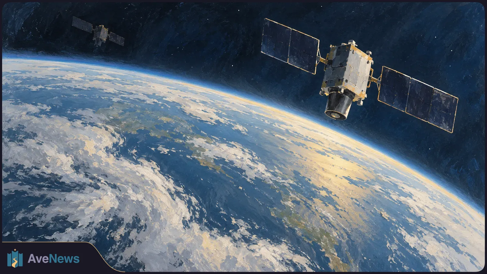
The system began in 1970. Its replacement is already operational, while another generation of satellites remains in development.
2 min
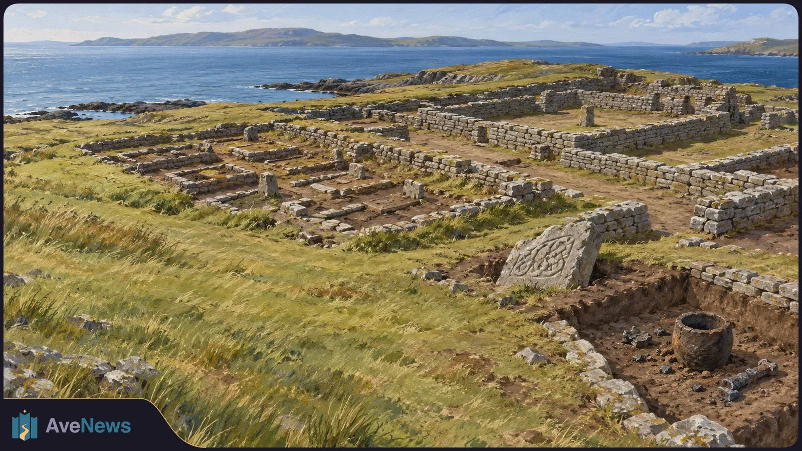
Buildings, burial grounds and carved stone underpin archaeologists’ reassessment of the Scottish island’s monastery. Metalworking finds also point to later jewellery production.
2 min