
U.S. river map identifies where protection or repair could help
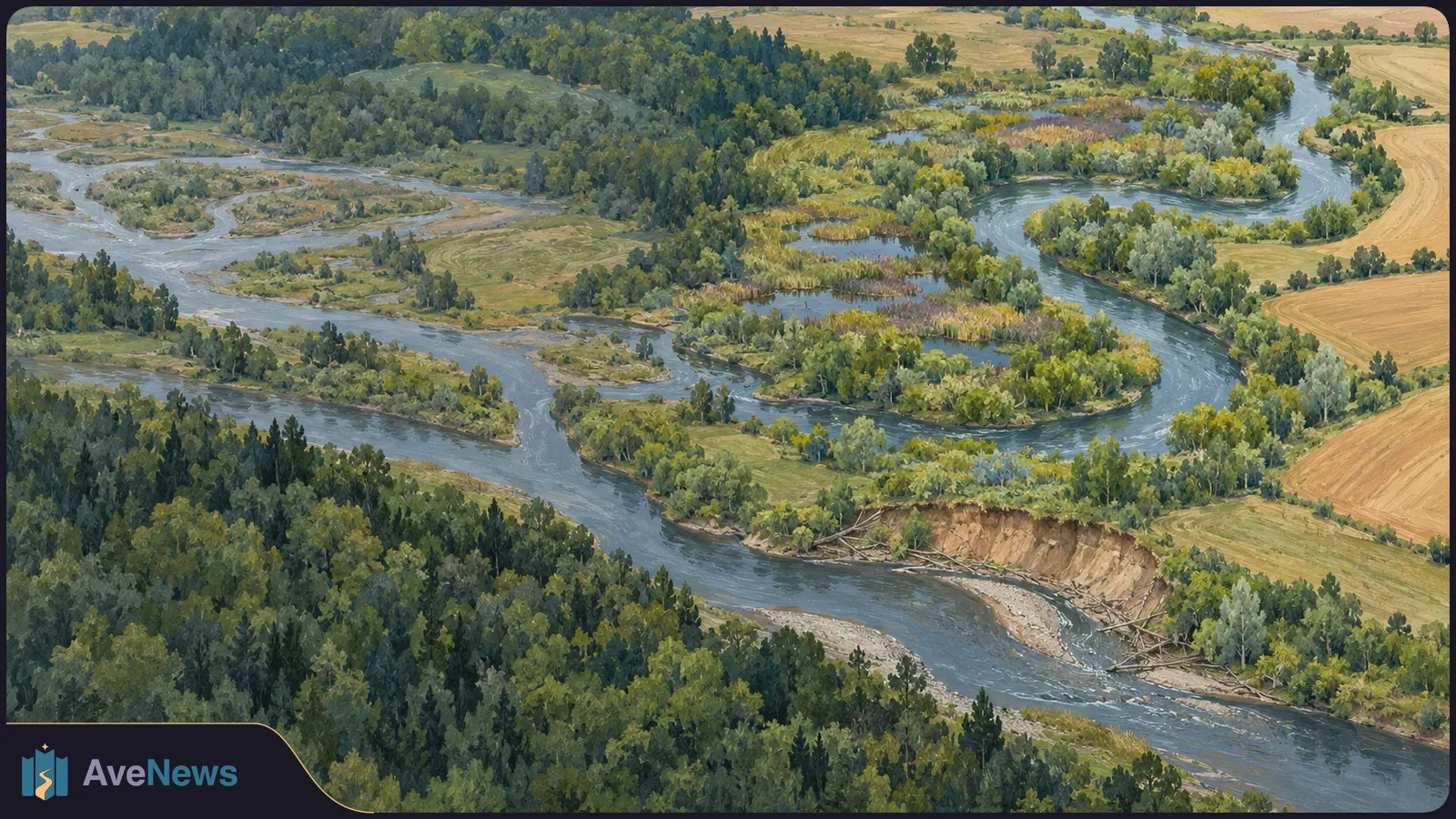
The assessment combines river conditions with biodiversity maps to identify conservation priorities, while finding a substantial protection gap for healthy streams.
A four-year assessment of every river and stream in the lower 48 U.S. states identifies where protection or a targeted repair could help sustain aquatic life as the climate warms. The rivers classified as resilient or restorable together form a proposed conservation network covering one-third of the nation’s total stream length.
Science News described the assessment on September 30, 2026, following the researchers’ September 16 report in PLOS One. The study found that healthy rivers are not necessarily protected: the share of national stream length in good condition without meaningful safeguards is roughly twice the share that is both healthy and protected.
| Condition and protection | Share of national stream length |
|---|---|
| Healthy, without meaningful safeguards | 13% |
| Healthy and meaningfully protected | 6% |
Researchers rated each small watershed—the area of land that drains into a river or stream—on four measures:
The team overlaid those ratings with 91 existing assessments showing where freshwater life is concentrated. Dozens of scientists and partners from 44 states adjusted the measures for different regional river systems, including the humid East, the arid Great Plains and the deserts of the Southwest.
Rivers doing well on all four measures were classified as resilient. These account for more than half of the stream length in the mapped conservation network. The remaining rivers scored near average and were classified as restorable: still functional, but constrained by a problem such as farm runoff or an obstructing dam that the assessment suggests one intervention could resolve.
That distinction gives conservation planners two different tasks: safeguard rivers already in good condition, or address a specific obstacle in a still-functioning river. A restorable rating identifies a possible repair, not a demonstrated restoration outcome.
For decades, U.S. conservation has focused mainly on land, according to Science News. A river poses a different protection problem: water entering a protected stretch can come from farm fields, dams and housing developments outside its boundaries. Protecting the banks of one segment therefore does not isolate the river from upstream conditions.
It matters what’s going on upstream of that protected area.
Reconnection is another practical use for the map. Science News reports that more than 150,000 dams have fragmented U.S. waterways, cutting fish off from spawning grounds and cold-water refuges. The assessment maps where reconnecting rivers could be most useful.
Rafael Schmitt, a University of California, Santa Barbara hydrologist who was not involved in the work, suggested comparing the map with locations where dam licences will expire. That could help identify effective restoration opportunities. His suggestion is a possible future application, not a completed restoration project or a measured result.
Stable magnetic patterns in tiny iron particles may offer clues to the Moon’s past, but that use remains unproven.
2 min

Tradeoffs’ review of 166 nonprofit hospitals finds that only 10 guarantee full refunds, leaving some patients who qualify for free care unable to recover earlier payments.
7 min

Ultrafast laser measurements and theoretical models revealed how a short-lived electron–hole pair contracted in an organic semiconductor—not through direct photography.
3 min
House style applied: Armenian punctuation, date and money forms.
Correction ·
Corrected spelling and punctuation in the Armenian text.
