
Manitoba’s northernmost farmland relies on dikes and pumps
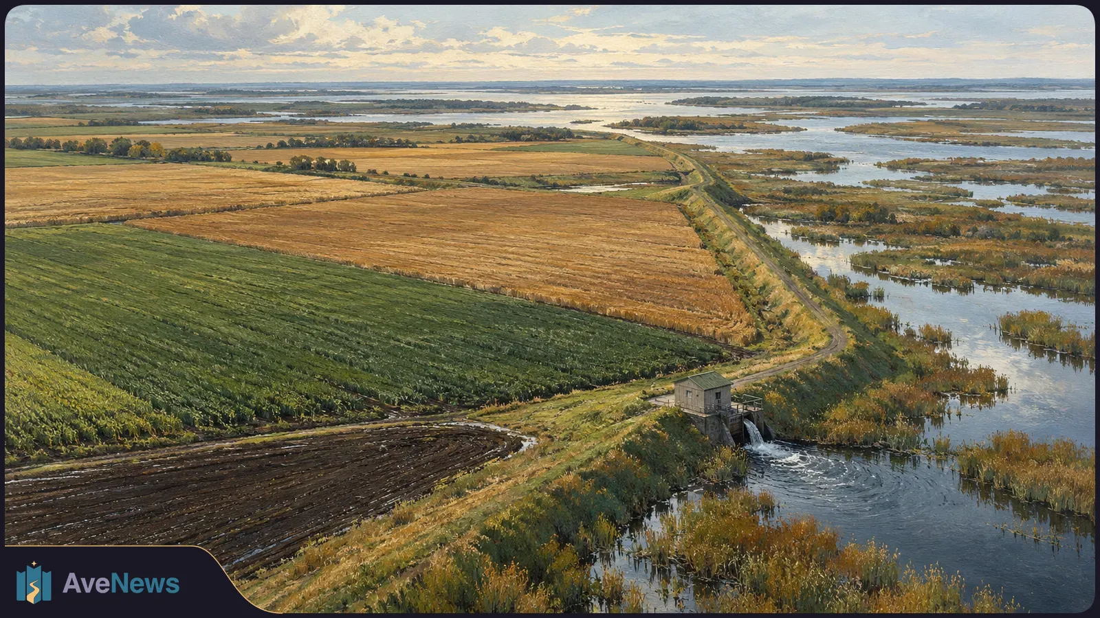
Landsat images show fields changing from green to brown during the 2026 growing season in a wetland delta, where fertile soils and long summer days help crops grow.
NASA’s Landsat images from July 2 and September 21, 2026 show Manitoba’s northernmost farmland changing from green to brown over the growing season. These fields occupy an unusual setting: the Saskatchewan River Delta, much of which is too wet for extensive farming. Keeping the land farmable depends on dikes and pumping to protect it from floods.
The fields lie west of The Pas in the Carrot River Valley, also known as the Pasquia Area Settlement, within the Rural Municipality of Kelsey. More than 40,000 hectares (100,000 acres) are actively farmed between the Carrot and Pasquia rivers, both tributaries of the Saskatchewan River. Wetlands surround the fields in this inland delta, which straddles the Canadian provinces of Saskatchewan and Manitoba.
A major flood-control and drainage project began in the valley in the 1950s. Farming still relies on dikes—barriers that hold back floodwater—and pumping for flood protection. Yet the valley also has advantages for crops: fertile soils and long summer days at this northern latitude can help plants grow quickly.
According to NASA Earth Observatory’s account, wet conditions delayed planting in the valley compared with parts of Manitoba Agriculture’s Northwest crop-reporting region farther south. By July 2, however, many of the valley’s fields were green with crops. Landsat 9 captured that image; Landsat 8 captured the September 21 view.
In the week before the September image, The Pas recorded just 1.6 millimeters (0.06 inches) of rain. Elsewhere in the Northwest region, rainfall reached 43.9 millimeters (1.7 inches), and wetter weather held up harvesting. Around that time, farmers across the region had harvested about 10 percent of canola and 50 percent of spring wheat. Those figures describe regional progress, not how much had been harvested in the pictured fields.
Landsat data contribute to Agriculture and Agri-Food Canada’s annual crop inventory, which maps the crops grown in Canada. Its 2025 map showed mostly canola and spring wheat in the Carrot River Valley, with small patches of Canary seed. The 2026 inventory had not been released as of late September, so the earlier map identifies the previous year’s crops rather than those visible in the new images.
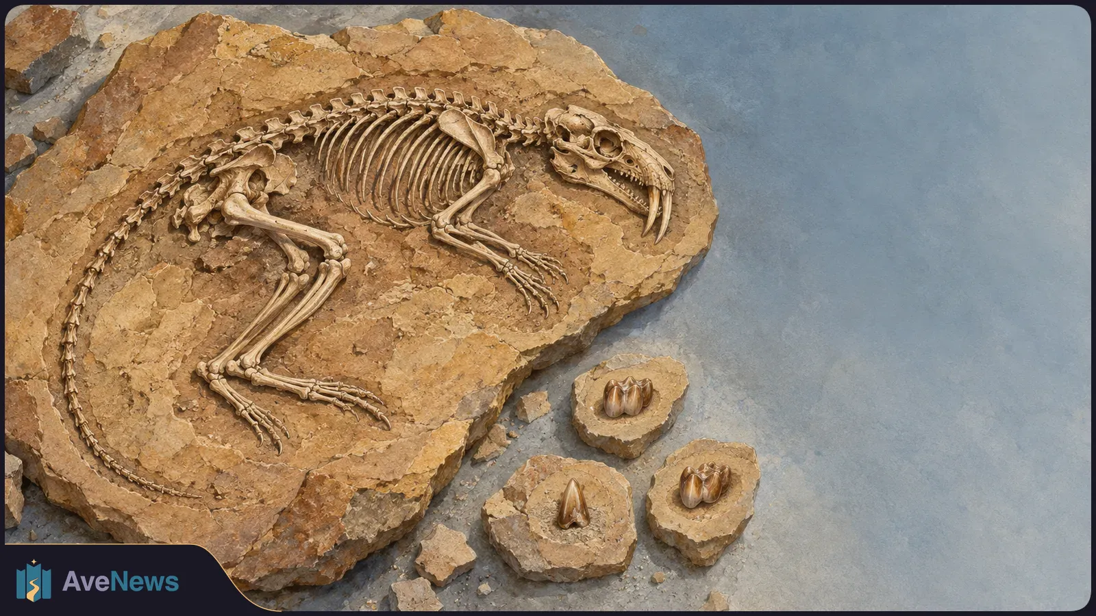
A nearly complete skeleton gives researchers evidence beyond teeth, placing zhelestids in a different branch from placental mammals.
3 min

An analysis of 52 ISS astronauts offers a possible clue to constipation in space and suggests ways to investigate digestive health on longer missions.
2 min
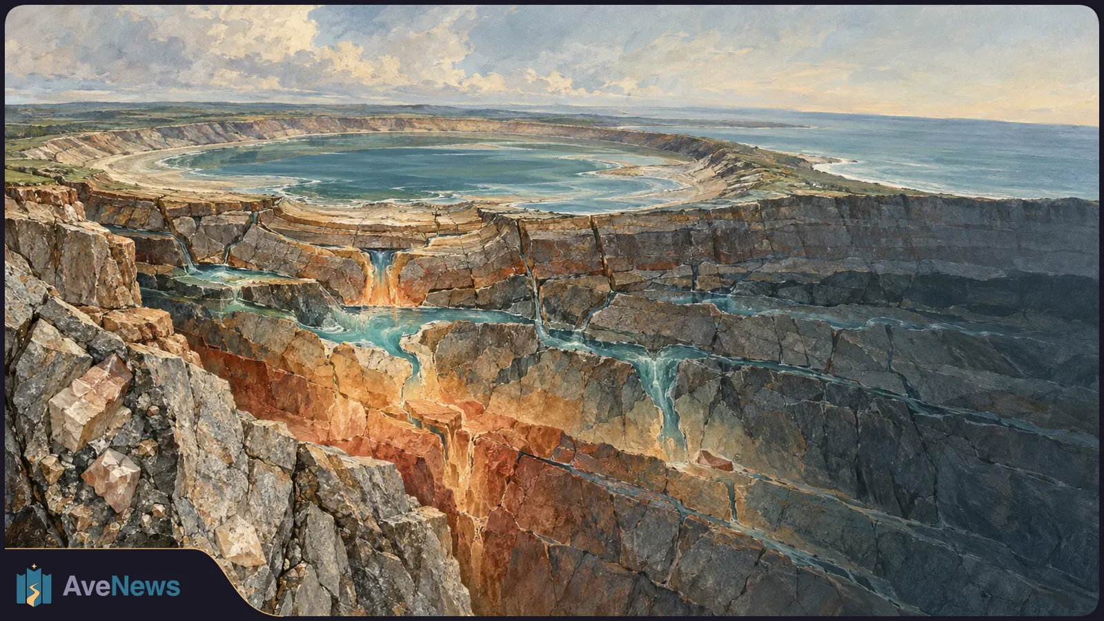
Rock dating and cooling simulations suggest a longer window for an impact-created habitat, but do not establish that organisms lived in the crater.
2 min
Correction ·
House style applied: Armenian punctuation, date and money forms.
Correction ·
Corrected spelling and punctuation in the Armenian text.
